Aparatura do badań sejsmicznych Geode
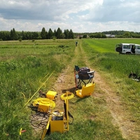
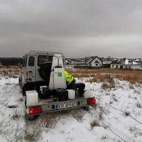
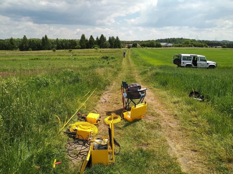
Aparatura Geode (Geometrics) jest nowoczesnym systemem do badań sejsmicznych. Wykorzystywany jest do rozpoznania zarówno płytkiej strefy ośrodka geologicznego (dla celów inżynieryjnych, geotechnicznych i środowiskowych) oraz głębokiej strefy (rozpoznanie złożowe i strukturalne). Pozwala na wykonanie pomiarów refrakcyjnych i tomografii refrakcyjnej fal podłużnych P (SRT-P) i fal poprzecznych S (SRT-S), wielokanałowej analizy fal powierzchniowych Rayleigha (MASW) oraz Love’a (MALW) jak i również płytkie profilowania refleksyjne fal P i S oraz pomiary w płytkich otworach (downhole, crosshole, VSP). Jako źródło drgań wykorzystywany jest mobilny system Gisco ESS 500 TURBO o dużej energii (4088 J) oraz młoty i źródła fal poprzecznych. Fale sejsmiczne rejestrowane są dzięki odbiornikom o częstotliwościach 4,5 Hz, 14 Hz oraz 100 Hz. Do badań z wykorzystaniem fal poprzecznych wykorzystywane są wysokoczułe horyzontalne odbiorniki o częstotliwości 4,5 Hz. Aparatura Geode pozwala na podłączenie do 72 odbiorników. W badaniach otworowych wykorzystywany jest streamer hydrofonowy, sonda 3C oraz sparker jako źródło drgań. Aparatura pozwala również na wykonywanie pomiarów z zakresu metod sejsmiki pasywnej - ReMi (Refraction Microtremor), SPAC/ESAC (Spatial Autocorrelation/Extended Spatial Autocorrelation) oraz HVSR (Horizontal-to-Vertical Spectral Ratio).
Udostępnienie aparatury wymaga uprzedniej zgody kierownika katedry. Udostępnianie odbywa się na zasadzie współpracy lub odpłatnie, w ramach zleceń komercyjnych.
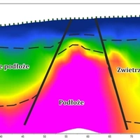
Wysokorozdzielcze rozpoznanie strukturalne i złożowe do głębokości ok. 500m, badania ośrodka gruntowo-skalnego na potrzeby budownictwa lądowego, rozpoznawanie stref osuwiskowych, wykrywanie stref spękań, pustek, kawern i zapadlisk, określenie przebiegu podłoża skalnego, miąższości gleb oraz klasyfikacja gruntów, wspomaganie badań geotechnicznych i geologii inżynierskiej, określenie sejsmiczności badanego obszaru z wykorzystaniem parametru Vs30 wg klasyfikacji NEHRP i UBC.
- Pomiar fal podłużnych P
- Pomiar fal poprzecznych S
- Pomiar fal powierzchniowych
- Sejsmika refrakcyjna
- Sejsmika refleksyjna
- Wielokanałowa analiza fal powierzchniowych
- Wyznaczanie dynamicznych modułów sprężystości strefy przypowierzchniowej
- Pomiary w otworach
- Sejsmika pasywna


Jednostka odpowiedzialna
Grupa / laboratorium / zespół
Laboratoria metod geofizycznych / Laboratorium mobilne / Laboratorium Badań Sejsmicznych